Infomineral geoscience capabilities
Data acquisition

Geoscience archives
- Scanned reports & maps
- Historic exploration records
- Core & sample inventories
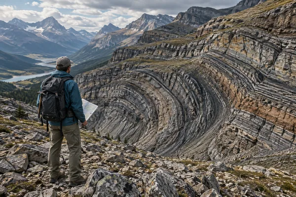
Geological surveys
- Geological map coverage
- Geochemistry & geophysics
- Regional survey archives
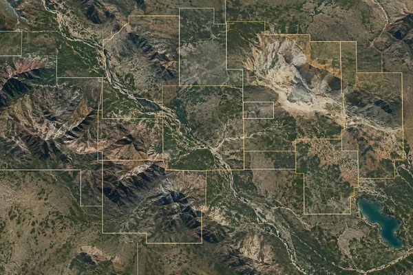
Mining title records
- Title boundaries & holders
- Licence status & history
- Public cadastral records
-
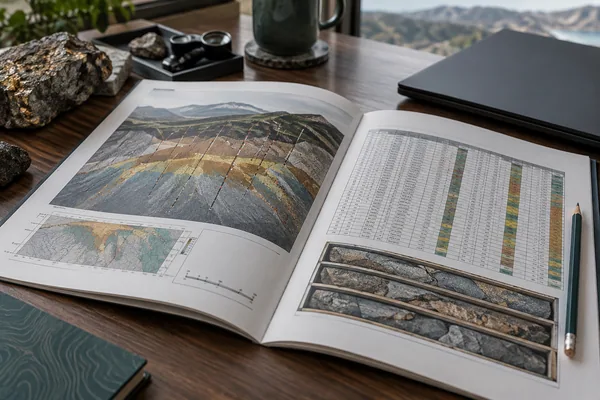
Technical filings
- NI 43-101 / JORC reports
- Project disclosures
- Resources & drilling data

Scientific literature
- Papers & proceedings
- Theses & dissertations
- Technical reference sources
-

Field & drill data
- Borehole surveys & logging
- Samples & assay records
- Positioned field observations
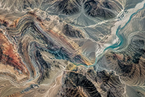
Satellite imagery
- Multispectral scenes
- Elevation & terrain data
- Time-series observations
Data engineering
-
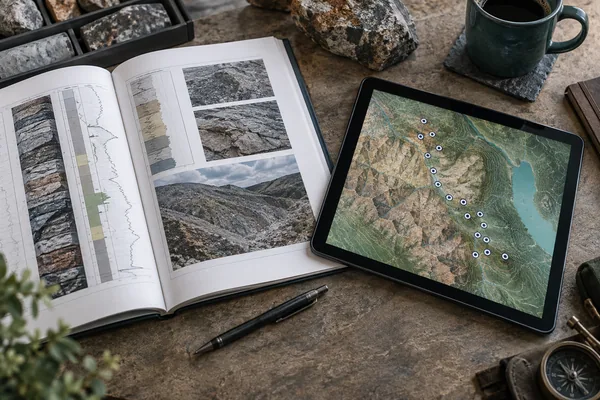
Report to Map
- Extract drill-hole records
- Structure report tables
- Map reported coordinates
Live demo 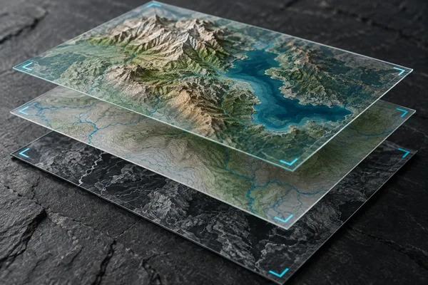
Data harmonisation
- Coordinate system alignment
- Consistent units & fields
- Duplicates & source matching

Data quality & metadata
- Validation rules & flags
- Source references & lineage
- Documented data fields

Legacy data migration
- Spreadsheets & old databases
- Field mapping & conversion
- Validated data transfer
-
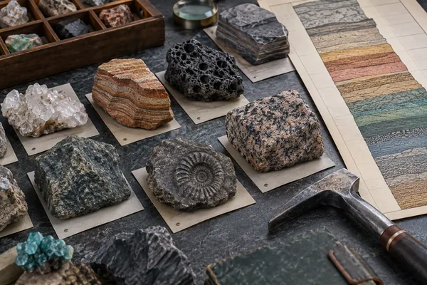
Geological vocabularies
- Lithology & mineral names
- Stratigraphic terminology
- Controlled classifications
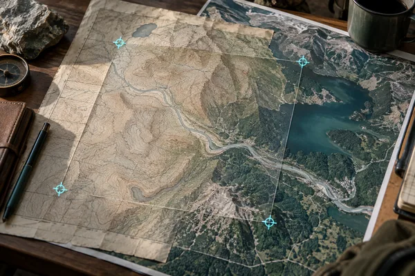
Map georeferencing
- Register scanned maps
- Match control points
- Create aligned map layers
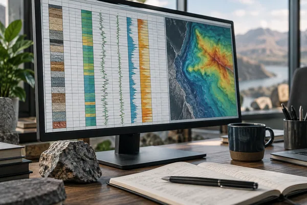
Analysis-ready data
- Spatial & tabular data
- Consistent data schemas
- Documented formats
Infrastructure
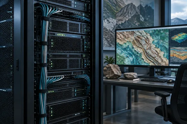
Geoscience databases
- Drilling, samples & assays
- Spatial data relationships
- PostgreSQL / PostGIS
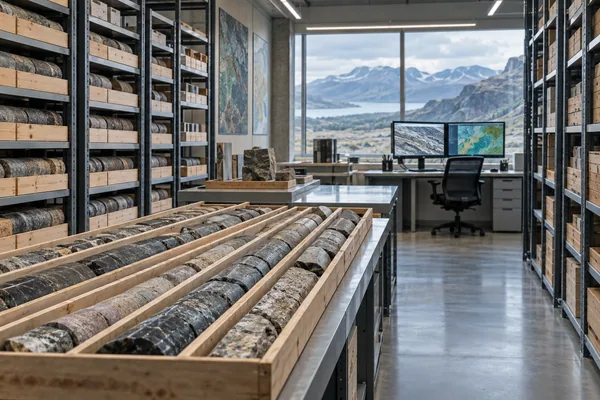
Geological repositories
- Centralised data holdings
- Survey & report collections
- Managed access permissions

Enterprise GIS
- Shared geospatial services
- Open & proprietary stacks
- Cloud or on-premise

Security & continuity
- Access roles & audit trails
- Backup & recovery
- Security review workflows
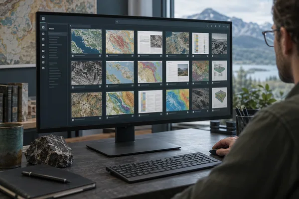
Spatial catalogues
- Searchable data inventories
- Coverage & metadata indexes
- Links to source records
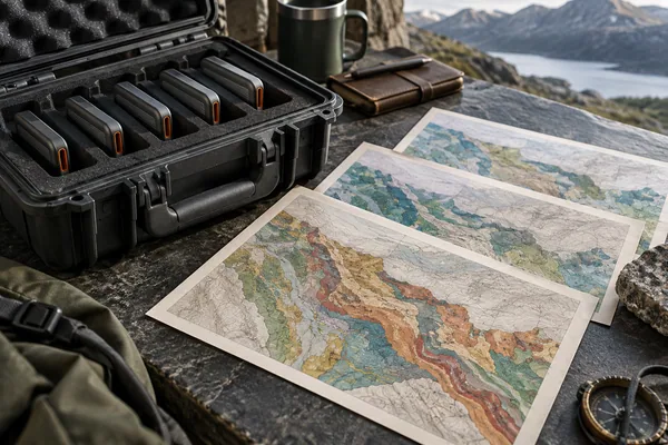
Versioned data storage
- Preserved source snapshots
- Tracked dataset revisions
- Recoverable project history
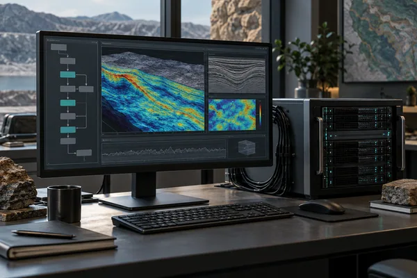
Processing infrastructure
- Repeatable processing jobs
- Scheduled data updates
- Logs & job monitoring
Data access
-
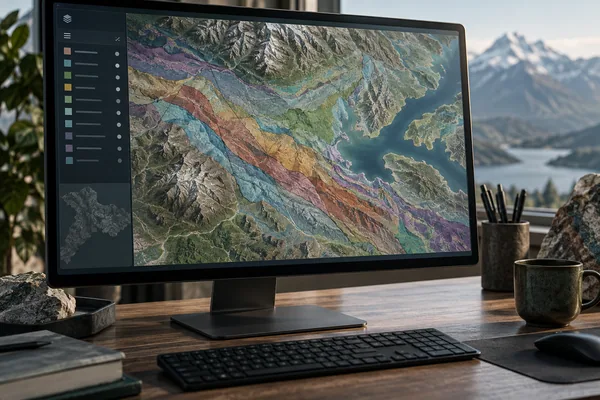
Geoportals
- Geology & mining layers
- Search, map & explore
- Public or internal access

APIs & map services
- REST & OGC endpoints
- WMS / WFS / WCS
- Application integration
-

Mining title viewers
- Rights & boundaries on maps
- Title status monitoring
- Company & area context

Desktop GIS integration
- QGIS & ArcGIS workflows
- Styled layer packages
- Ready-to-use map projects
-

Geological provinces
- Regional geological context
- Province boundaries
- Interactive comparison
Live demo -
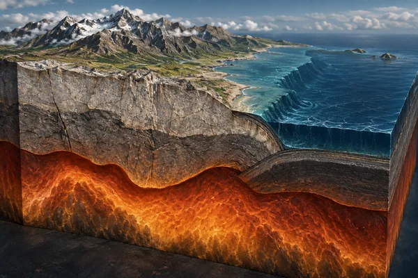
Earth Crust Viewer
- Crustal structure in 3D
- Moho discontinuity
- Volumetric exploration
Live demo 
Data downloads
- GIS layers & data tables
- Documented export packages
- Open exchange formats
Analytics
-
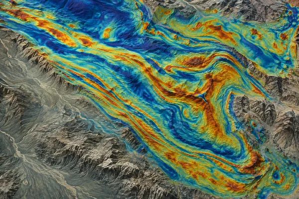
Geophysical processing
- Magnetic & gravity grids
- Radiometric derivatives
- Structural interpretation

Mineral targeting
- Combine geological evidence
- Rank prospective areas
- Explain target selection

Satellite analysis
- Surface mineral signatures
- Disturbance & change
- Artisanal mining footprints
-

Corporate networks
- Issuer relationships
- Directors & shareholders
- Connected mining companies
Live demo 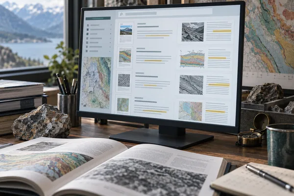
AI document search
- Semantic report search
- Source-linked summaries
- Questions in plain language
-

Filings & share price
- Technical report timelines
- Share-price context
- Event-based comparison
Live demo 
Terrain analysis
- Elevation & slope models
- Drainage & landforms
- Regional spatial context
Decision support
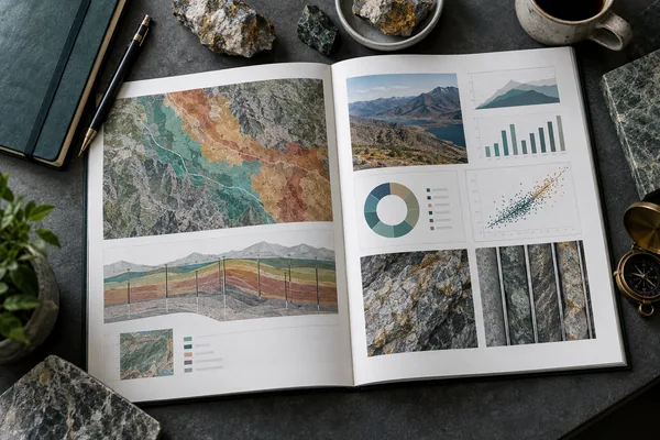
Project assessments
- Geology & mineral potential
- Mining rights context
- Targets & next steps
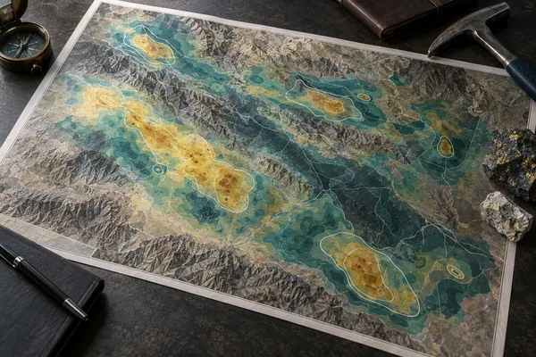
Prospectivity maps
- Commodity-specific outputs
- Evidence-weighted targets
- GIS-ready map packages
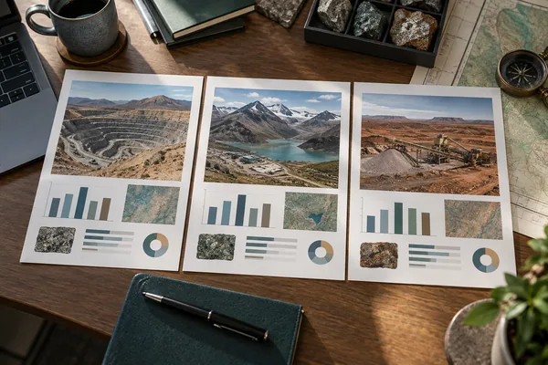
Project benchmarking
- Comparable mineral projects
- Technical peer indicators
- Market context
In development
Mineral & market studies
- Critical mineral supply
- Demand & value chains
- Regional market context

Mine-site baselines
- Site & disturbance inventories
- Rehabilitation context
- Monitoring reference maps

Training & support
- GIS & data management
- Documented workflows
- Technical knowledge transfer
-
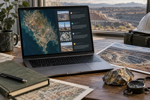
Mining event briefings
- Permitting & court events
- Community & site incidents
- Project-level context
Live · beta
One connected framework. Multiple applications.